
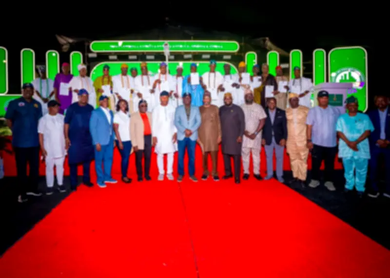
The Lagos State Government has officially completed a comprehensive redrawing of the Lekki land map, issuing allocation letters to 98 villages within the area. This move, announced by the Lagos State Lands Bureau, is designed to settle long-standing boundary conflicts and accelerate urban development in one of Nigeria’s most coveted real estate markets.
What Happened: The Redrawing Process
According to a statement from the Commissioner for Lands, Mr. Segun Oshunniyi, the redrawing exercise involved a meticulous survey and reconciliation of existing land records. The process covered over 12,000 hectares of land across Lekki, including areas like Eleko, Ibeju-Lekki, and Sangotedo. The government engaged traditional rulers, community leaders, and surveyors to ensure accuracy and fairness. The allocation letters serve as official recognition of village boundaries, granting communities legal ownership of their ancestral lands.
Details and Impact on Residents
The 98 villages that received allocation letters now have documented proof of land ownership, which protects them from illegal acquisitions and land grabbing. The Commissioner emphasized that this initiative is part of Governor Babajide Sanwo-Olu’s broader agenda to promote orderly development and secure property rights. “This is a historic milestone. For decades, these communities faced uncertainty due to overlapping claims and lack of clear demarcation. With these letters, they can now plan for the future,” Oshunniyi stated.
Economic Implications
The Lekki region is home to key infrastructure projects, including the Lekki Free Trade Zone, the Dangote Refinery, and Lekki Deep Sea Port. By clarifying land ownership, the government expects to attract more investment and reduce litigation. Real estate experts predict that property values in the area could rise by up to 20% in the next year. However, they also caution that the allocation letters must be followed by proper titling to prevent future disputes.
Reactions and Next Steps
Community leaders welcomed the development but called for enforcement of the new boundaries. Chief Adewale Ogunleye, a representative of the Eleko community, said, “We are grateful, but we urge the government to publish the map widely and deploy technology to monitor encroachments.” The Bureau stated that a digital version of the redrawn map will be available online within two weeks. Additionally, the government plans to issue certificates of occupancy to the villages within six months.
This initiative is part of a larger land reform in Lagos State, which has already seen similar exercises in other areas like Ikorodu and Badagry. The success of the Lekki redrawing could serve as a model for resolving land conflicts across Nigeria.