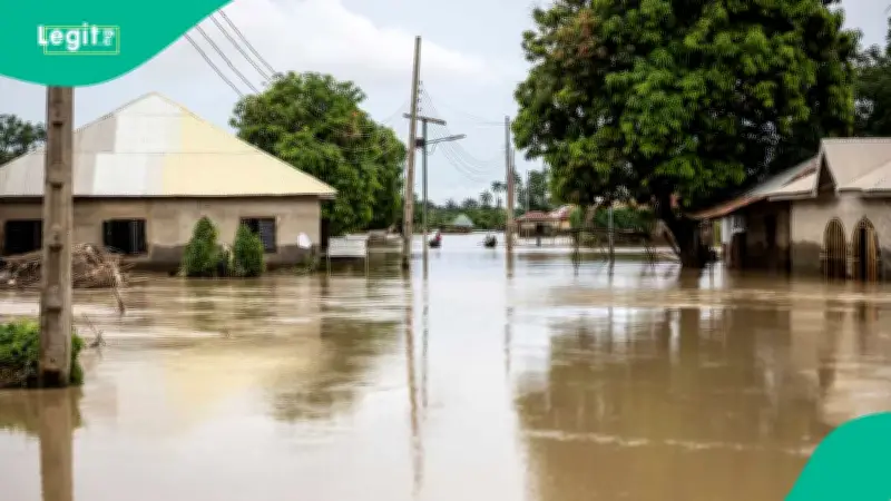
The Federal Government has placed residents of 24 states and the Federal Capital Territory (FCT) on high alert for potential flooding between September 27 and October 10, 2026, according to the National Flood Early Warning Systems Centre. The advisory, reported by Vanguard, warns that a combination of heavy rainfall, rising river levels, saturated soil, and increased surface runoff could trigger widespread flood events across the country during this two-week period.
States and Areas at Critical Flood Risk
The advisory, signed by Usman Abdullahi Bokani, Director of the Erosion, Flood and Coastal Zone Management Department under which the Centre operates, classifies communities in 24 states as critical-risk areas. These states include Benue, Kogi, Kwara, Niger, Adamawa, Bauchi, Taraba, Rivers, Edo, Delta, Cross River, Bayelsa, Akwa Ibom, Abia, Anambra, Ebonyi, Enugu, Imo, Ekiti, Lagos, Ogun, Ondo, Osun, and Oyo.
Riverine and coastal communities in Rivers, Delta, Bayelsa, Cross River, and Akwa Ibom are singled out as facing the greatest exposure. Major urban centres covered by the alert include Makurdi, Lokoja, Minna, Port Harcourt, Benin City, Asaba, Calabar, Uyo, Aba, Onitsha, Enugu, Owerri, Ado-Ekiti, Lagos, Abeokuta, Akure, Osogbo, and Ibadan.
In the FCT, areas including Abuja Municipal, Asokoro, Bwari, Garki, Gwagwalada, Gwarinpa, Kubwa, Kuje, Kwali, Lugbe, Maitama, Nyanya, and Wuse are placed on the high-risk list. Additionally, Nasarawa, Plateau, Bauchi, Taraba, Adamawa, and Kebbi are also included in the advisory.
Safety Instructions for Residents in Flood-Prone Zones
Residents in critical-risk communities are directed to begin an immediate flood watch, map out evacuation routes in advance, and move vulnerable persons and essential property to safety. The Centre warns against settling, parking, trading, or keeping goods on floodplains, riverbanks, wetlands, and low-lying drainage areas.
For those in high-risk zones, the Centre recommends clearing drains and closely monitoring culverts and waterways. Residents are urged to promptly report heavy rainfall, water ponding, dam releases, and any changes in river levels. Communities on the moderate-risk list are advised to stay alert, as prolonged or back-to-back rainfall could rapidly worsen local conditions.
State Controllers, State Emergency Management Agencies, local government environmental officers, and community flood focal persons have been directed to step up monitoring of rivers, streams, bridges, culverts, drains, estuaries, reservoirs, and erosion-prone zones. The Centre also instructs residents to disconnect electricity where flooding is imminent, keep children away from floodwater, avoid walking or driving through moving water, and secure medicines, important documents, food, and clean water.
Forecast Context and Additional Warnings
The Centre notes that the forecast should be interpreted alongside real-time conditions on the ground and any official emergency directives. Reports from state governments and community focal persons will be used to update the flood-risk database.
In a related development, the Nigeria Hydrological Service Agency (NiHSA) has forecast high riverine flooding across 15 states between September 19 and 25, 2026. NiHSA Director General Umar Mohammed warned that schools, hospitals, markets, farms, and religious buildings are at risk in affected states. Residents in floodplain communities across Imo, Cross River, Anambra, Ebonyi, and other states have been urged to move to higher ground.