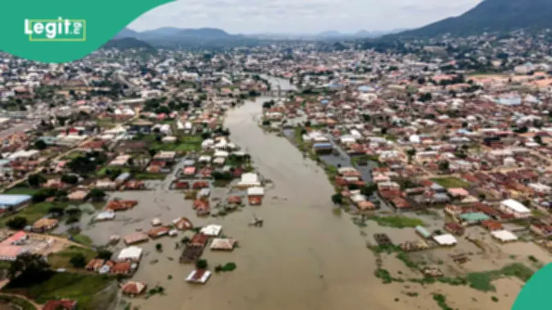
The Federal Government has placed 915 communities across 19 states and the Federal Capital Territory on a critical flood alert for the period from August 27 to September 9, 2026. The classification, issued by the National Flood Early Warning Systems Centre, requires immediate watch, preparedness, and protective action from residents in the affected areas.
Critical Risk Communities and States
The 19 states flagged as critical risk include Kogi, Benue, Rivers, Edo, Delta, Cross River, Bayelsa, Akwa Ibom, Abia, Anambra, Ebonyi, Enugu, Imo, Ekiti, Lagos, Ogun, Ondo, Osun, and Oyo. Among the major cities and communities listed are Lokoja, Makurdi, Port Harcourt, Benin City, Asaba, Calabar, Yenagoa, Uyo, Aba, Onitsha, Enugu, Owerri, Lagos, Abeokuta, Akure, Osogbo, and Ibadan.
The advisory, signed by Usman Abdullahi Bokani, Director of the Erosion, Flood and Coastal Zone Management Department, attributed the elevated risk to a combination of high soil moisture, heavy rainfall, rapid surface runoff, drainage surcharge, and rising river levels.
High and Moderate Risk Categories
Beyond the critical tier, another 429 communities across seven states were designated high risk, while 656 communities in 13 states were placed on a moderate-risk watch. Communities in Benue, Kogi, Kwara, Niger, Adamawa, Taraba, and Kebbi were told to clear drainage systems and keep a close watch on culverts and watercourses.
The FCT, along with communities in Nasarawa, Plateau, Bauchi, Borno, Gombe, Yobe, Zamfara, Sokoto, Katsina, Kano, and Kaduna, fell under the moderate-risk category. The government cautioned that sustained or back-to-back rainfall could quickly push those areas into higher risk territory.
Residents Urged to Act
Residents in critical-risk zones were told to confirm evacuation routes, protect vulnerable household members, and keep essential property out of harm's way. The government also directed people to avoid settling, parking, trading, or storing goods within floodplains, wetlands, riverbanks, and low-lying drainage corridors.
State emergency management agencies, environmental officers, and community flood focal persons were directed to step up surveillance around rivers, streams, culverts, bridges, drains, estuaries, reservoirs, and erosion-prone areas.
Residents across all affected zones were advised to comply with evacuation orders from authorities, keep children away from floodwater, and refrain from driving or walking through moving water. Where flooding appeared imminent, people were told to disconnect electricity and secure medicines, important documents, food, and clean drinking water.
The government added that the forecast should be read alongside real-time local observations, river levels, drainage conditions, and official emergency directives. Feedback from state governments, stakeholders, and community focal persons will be used to update and validate the national flood-risk database on an ongoing basis.