
Health professionals and technology experts across Nigeria have united to emphasize the critical importance of Geographic Information Systems in transforming healthcare delivery and achieving health equity throughout Africa.
Cross-Sector Collaboration Takes Center Stage
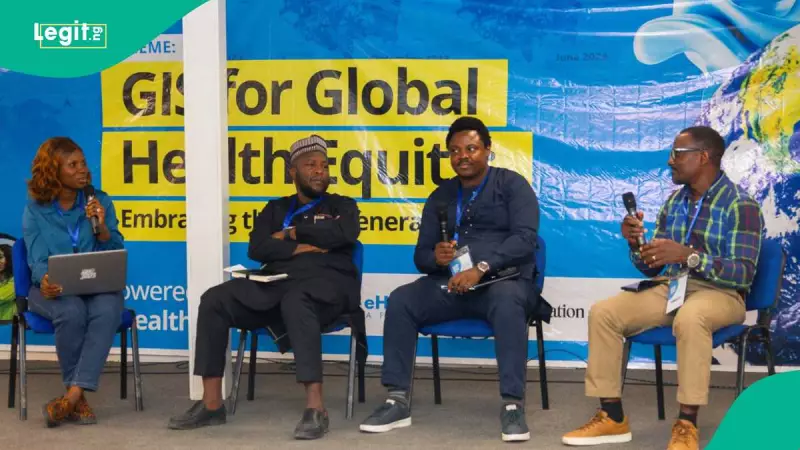
The significant gathering occurred on Wednesday, November 19, 2025, when eHealth Africa organized an event to commemorate the 2025 World GIS Day. The forum brought together innovators, health practitioners, researchers, and development partners committed to expanding geospatial technology's impact across the continent.
Abdulhamid Yahaya, eHealth Africa's deputy director of Global Health Informatics, set the tone by calling for stronger collaboration and innovative applications of GIS technology to advance global health equity. The event's theme, "GIS for Global Health Equity: Embracing the Geo-Generalist Era," reflected the growing recognition of geospatial technology's transformative potential in healthcare.

"GIS is most powerful when health experts, technologists, policy makers, and community leaders come together, share knowledge, align strategies, and co-create solutions," Yahaya emphasized during his presentation.
Kano State Demonstrates GIS Success
Dr. Dalhatu Aliyu Sani, director-general of Kano Geographic Information System (KANGIS), provided concrete evidence of GIS's financial and operational benefits. He revealed that Kano state's renewed investments in enterprise GIS have dramatically strengthened systems, generating over N750 million monthly in revenue compared to the previous N50 million.
"GIS is no longer just about land administration," Aliyu-Sani declared. "It is about spatial data for planning, security, environmental monitoring, and sustainable development." His remarks highlighted the technology's expanding role beyond traditional applications into broader developmental contexts.
Transforming Disease Eradication Efforts
Oros-ghene Adia, deputy director and technical lead of the CORE Group Partners Project, detailed GIS's practical applications in combating diseases and improving health service delivery. "GIS helps us understand where people live, where diseases occur, and how services can reach them effectively," he explained.
Adia noted that the technology has enabled a crucial shift from static paper maps to dynamic, data-driven decision-making. While acknowledging ongoing challenges including limited skills and infrastructure gaps, he expressed optimism that continued advocacy and innovation would gradually close these gaps.
Dr. Esther Shupel-Ibrahim, chief scientific officer at NASRDA, reinforced these points by emphasizing GIS and remote sensing's value in outbreak detection and health planning. "If we rely only on traditional methods, we will struggle to address emerging challenges such as climate-driven health threats," she warned. "GIS helps us predict, plan, and act."
Exhibition Showcases Multi-Sector Innovations
The 2025 World GIS Day event featured comprehensive presentations, panel discussions, and exhibitions demonstrating GIS innovations across multiple sectors including health, agriculture, security, and urban development. This multi-disciplinary approach underscored the technology's versatility and potential for cross-sector collaboration.
The collective message from all speakers emphasized that innovative collaboration across different sectors is essential for maximizing GIS's potential in addressing Africa's most pressing health and development challenges.